
Official Land Registration & Verification System
A modern platform supporting organized land registration, verification, transparency, and better land information management across Lower Shabelle Region.
Authorized personnel can access the system through secure login.
About Lower Shabelle
An important region of South West State, connected to the wider development and economic landscape of Somalia.
Geography
Lower Shabelle is an important region of South West State of Somalia, located in the southern part of the country along the Indian Ocean coast and the Shabelle River.
Agriculture
The region is known for its fertile agricultural areas, sustained by the Shabelle River. Agricultural land is essential for food production, livelihoods, local markets, and economic activity.
Communities & Development
Organized land information supports communities, residents, businesses, farmers, investors, and public institutions in making informed decisions about land use and development.
Economic Potential
Better land information can support responsible development, investment, infrastructure planning, agricultural development, urban growth, and community development.
Purpose of the System
The system is designed to support organized, reliable, and transparent land administration across Lower Shabelle Region.
Organized Land Registration
Supporting structured registration of land parcels across the region.
Land Information Management
Maintaining organized and accessible land records.
Verification of Records
Supporting verification of land records for authorized purposes.
Better Record Keeping
Transitioning from fragmented paper records to reliable digital records.
Improved Accessibility
Enabling authorized personnel to access relevant land information efficiently.
Transparent Administration
Supporting more transparent land administration and coordination between authorities.
Benefits to Lower Shabelle
Improved digital land administration can benefit the region in multiple ways.
Better Record Keeping
Supports organized and accessible land records, reducing dependence on fragmented paper records.
Improved Transparency
Creates clearer records and processes that can support greater transparency in land administration.
Reduced Record Confusion
Helps maintain structured parcel information and reduce duplication or confusion between land records.
Better Planning
Reliable land information can support infrastructure, urban planning, agricultural planning, and regional development.
Support for Communities
Better land records can help communities and property holders maintain clearer documentation of land information.
Support for Agriculture
Better understanding of agricultural land can support agricultural planning and development initiatives.
Investment & Development
Reliable land information can contribute to a more organized environment for responsible investment and development.
Digital Transformation
Supports the broader modernization and digitization of public administration in the region.
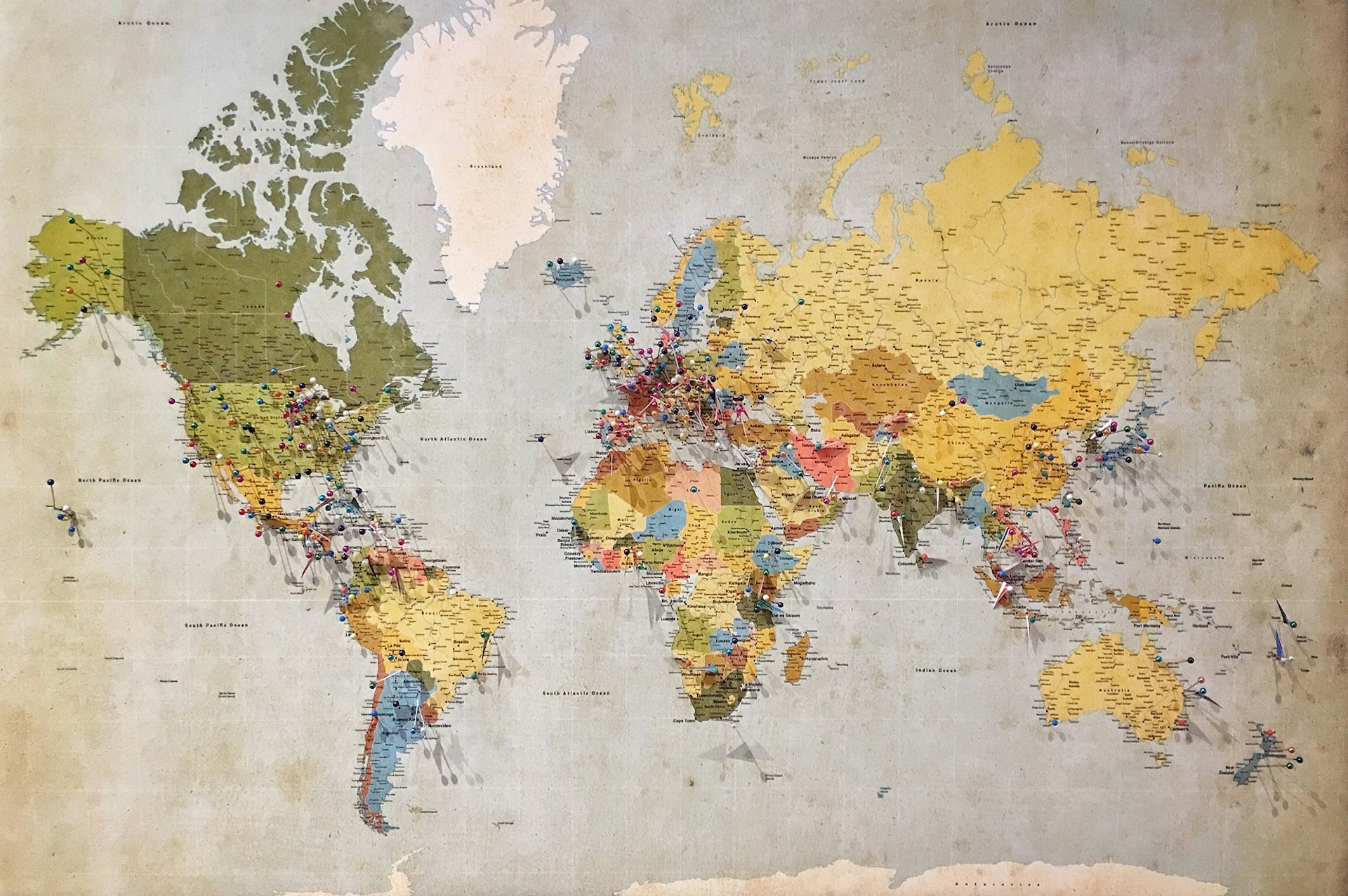
From Land to Better Planning
The relationship between land, location, records, verification, and better planning.
Reliable land information connects physical parcels to structured records, supporting better planning and development decisions.
Regional Development
Organized land information can contribute to the wider development of Lower Shabelle.
Urban Development
Supporting organized urban growth and development planning.
Agricultural Development
Supporting agricultural planning and development initiatives.
Infrastructure Planning
Contributing to infrastructure planning through reliable land information.
Public-Service Planning
Supporting public-service planning and delivery.
Land Administration
Strengthening land administration across the region.
Community Development
Supporting community development through better land information.
Investment Planning
Contributing to a more organized environment for investment planning.
Digital Government Services
Supporting the broader modernization of government services.
Why Digital Land Records Matter
Transitioning from fragmented manual records toward structured digital land information.
Accuracy
Structured records can reduce errors and duplication.
Accessibility
Authorized personnel can access relevant information more efficiently.
Accountability
Recorded activities can provide clearer administrative history.
Planning
Reliable information can support better decisions about land and development.
Preservation
Digital records can complement physical documentation and help preserve important land information.